 Image 1 of 10

 Image 2 of 10

 Image 3 of 10

 Image 4 of 10

 Image 5 of 10

 Image 6 of 10

 Image 7 of 10

 Image 8 of 10

 Image 9 of 10

 Image 10 of 10


1930 City of Williamstown, Parish of Cut Paw Paw Map Framed Print
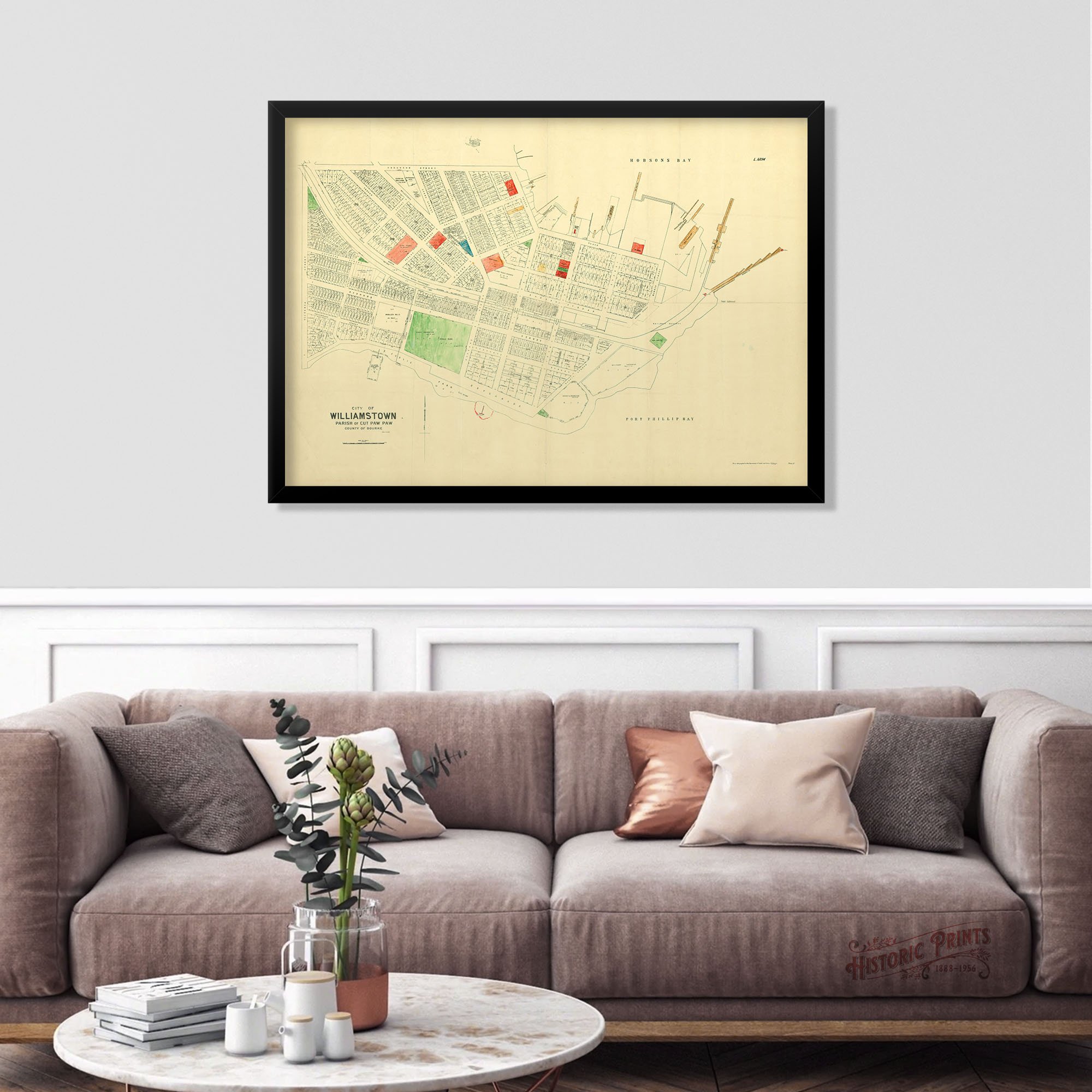
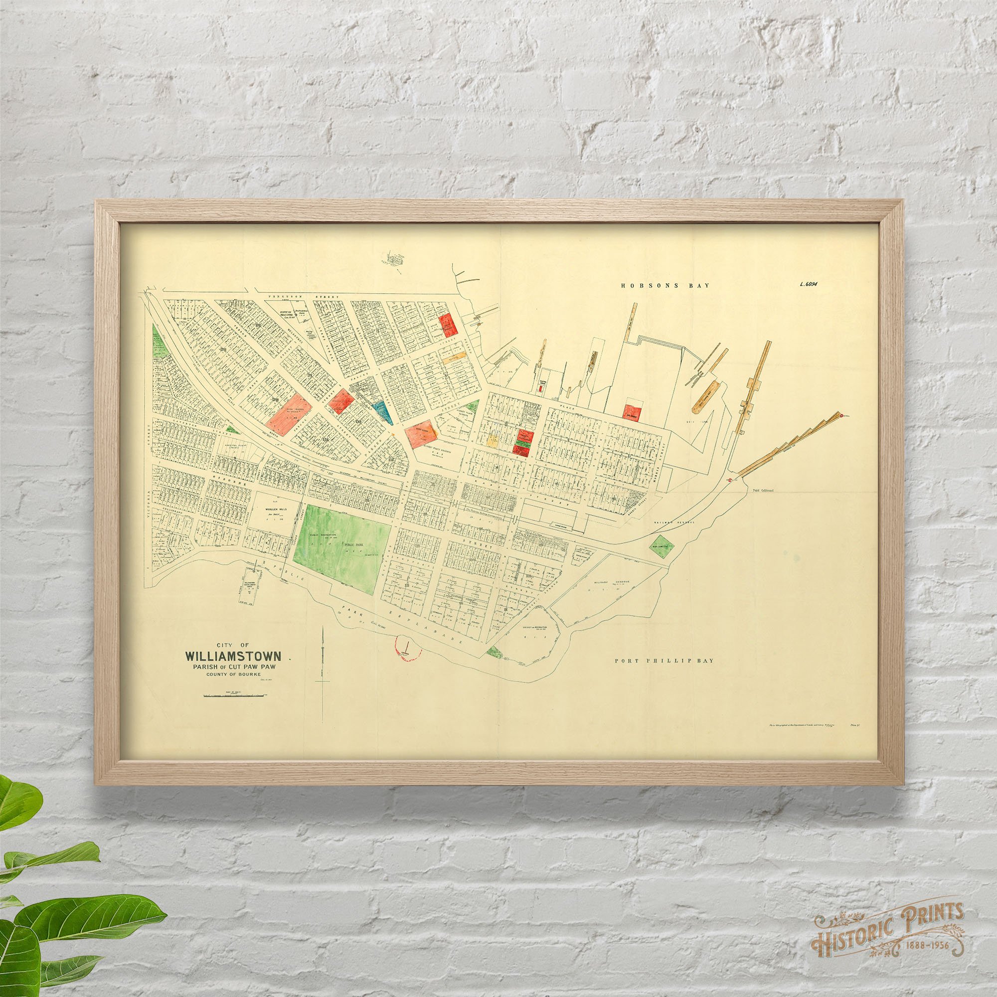
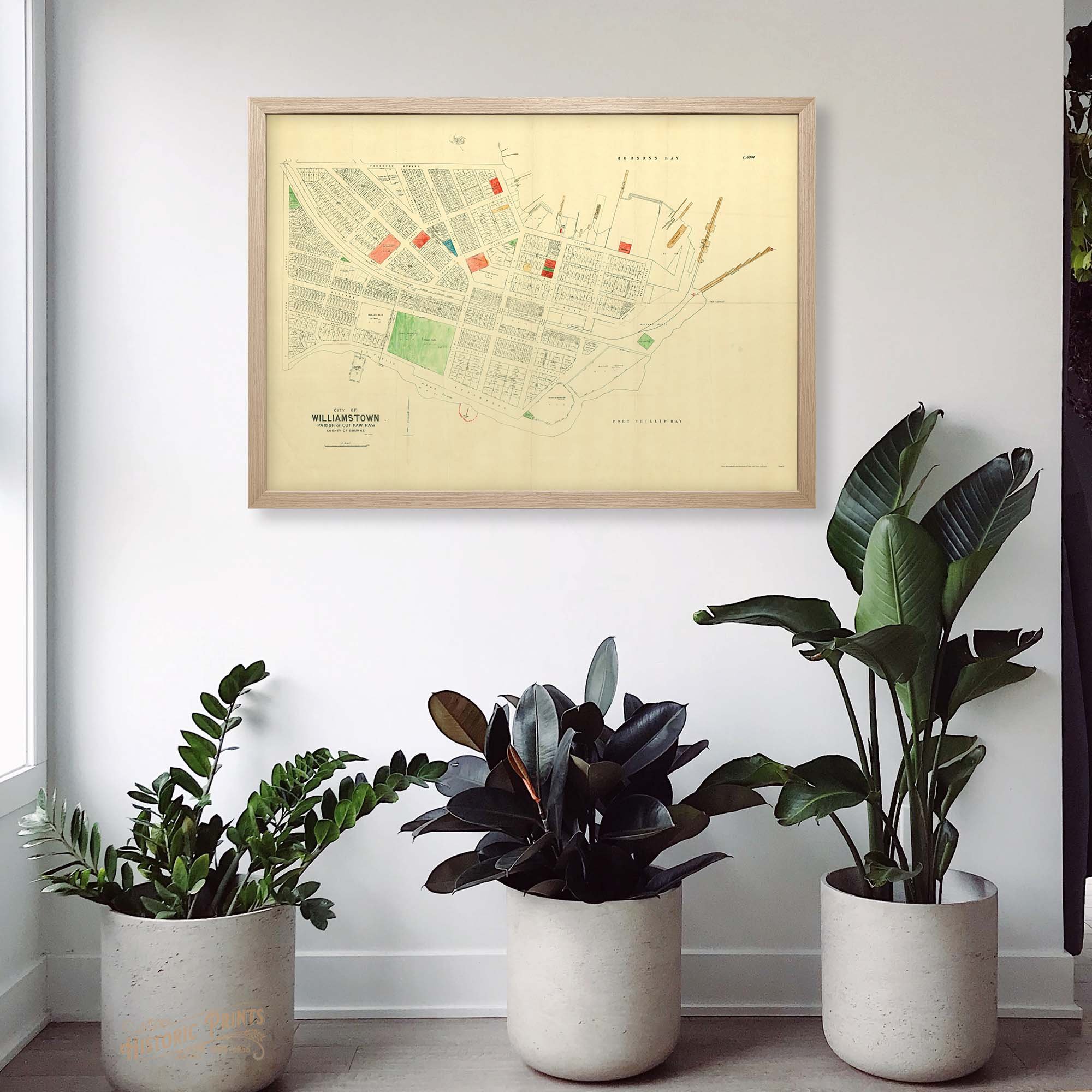
A little colour pop of Williamstown by the Department of Crown Lands and Survey from 1930. It shows the first initial and last name of each lot owner, which is very handy if you are chasing the history of your allotment. All the colours were used to indicate different land allocations and use - ie public parks in green, piers in brown, state schools and utilities in red. Just stunning.
A little colour pop of Williamstown by the Department of Crown Lands and Survey from 1930. It shows the first initial and last name of each lot owner, which is very handy if you are chasing the history of your allotment. All the colours were used to indicate different land allocations and use - ie public parks in green, piers in brown, state schools and utilities in red. Just stunning.
A little colour pop of Williamstown by the Department of Crown Lands and Survey from 1930. It shows the first initial and last name of each lot owner, which is very handy if you are chasing the history of your allotment. All the colours were used to indicate different land allocations and use - ie public parks in green, piers in brown, state schools and utilities in red. Just stunning.
