 Image 1 of 7

 Image 2 of 7

 Image 3 of 7

 Image 4 of 7

 Image 5 of 7

 Image 6 of 7

 Image 7 of 7


Bairnsdale Township and Suburban Allotments of Gipps Land 1858
Bairnsdale Township and Suburban Allotments of Gipps Land 1858 Framed A1 Print
The Town of Bairnsdale was proclaimed 18/02/1861 and the Shire of Bairnsdale was proclaimed on 12/07/1868.
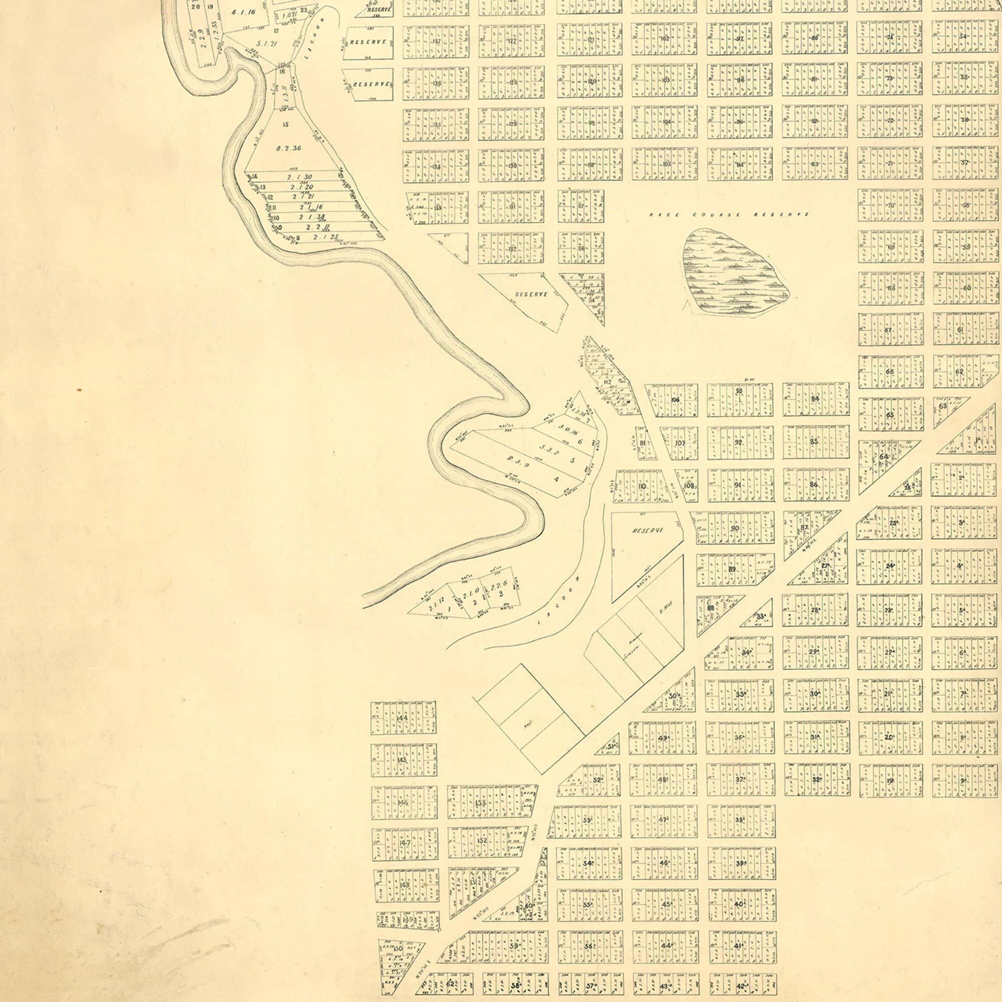
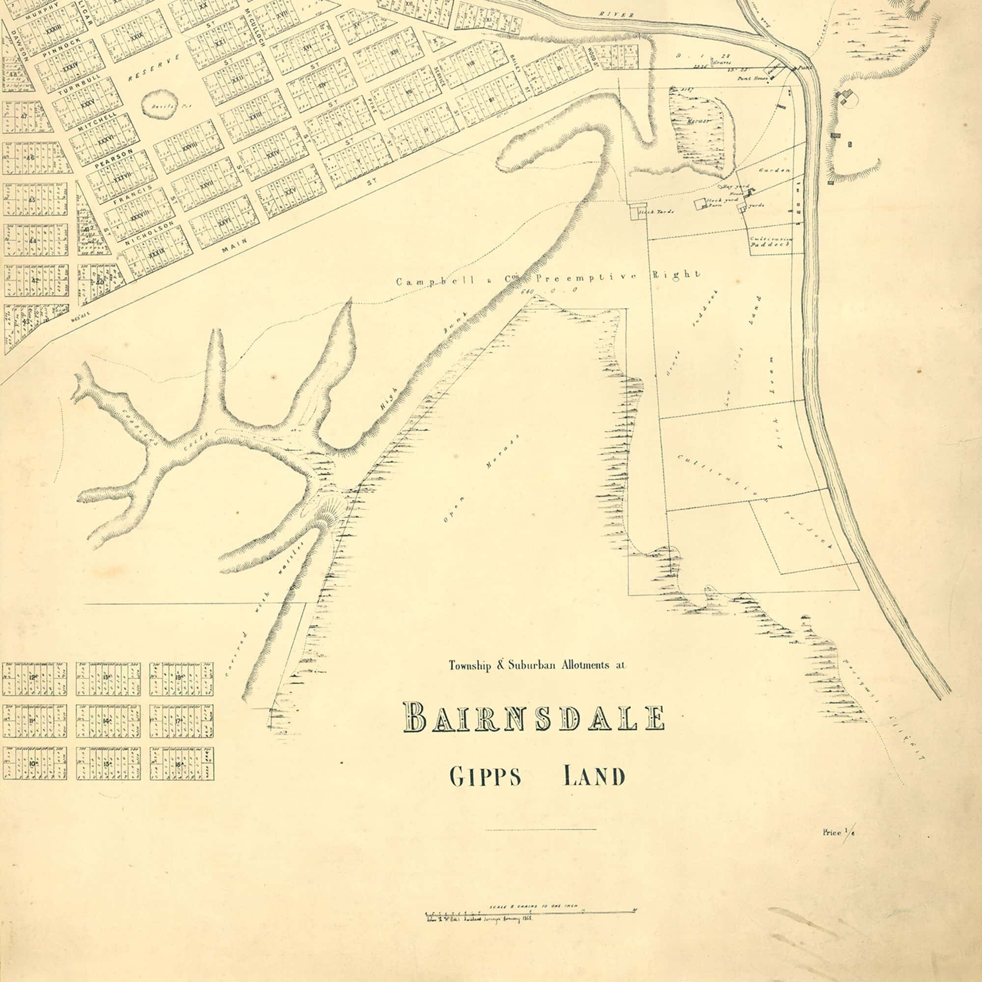
This allotment is the original subdivision lot plans from the very first subdivisional surveys in January 1858 by John H. W. Pettit. This survey was redone again in 1860 and the first land allotment sale was held at Sale Vic on 05/10/1860. 41 lots we're offered, from Pyke St (North side of Main Street to Francis St) to the Mitchell River Caravan Park. Further adjoining allotments were offered for sale later that month.
You will note that most streets are unnamed beyond the only existing main streets. Where the outdoor pool, bowls, and tennis courts are is known as the Devil's Pit, a natural drain hole. A local once said, “this area was known to us as the Tennies (short for Botanical Gardens), was a large hole in the middle that used to fill up in winter, in summer the neighbourhood kids used to ride their bikes around in there and also we used to slide down the steep sides of the hole on cardboard”.
The original map was in two halves and was pressed flat against each other, you notice the age marks are mirrored on each side edge, we restored it a little and have left the centre join somewhat visible to not take away the history.
Our favourite part is the early reference to GIPPS LAND as two separate words.
Delivery to Bairnsdale. Historic Prints owner, Mark, is originally from Bairnsdale and still has family there that travel regularly to and from our location. We would use this opportunity to transport your frame to Bairnsdale removing your hassle.
