 Image 1 of 10

 Image 2 of 10

 Image 3 of 10

 Image 4 of 10

 Image 5 of 10

 Image 6 of 10

 Image 7 of 10

 Image 8 of 10

 Image 9 of 10

 Image 10 of 10


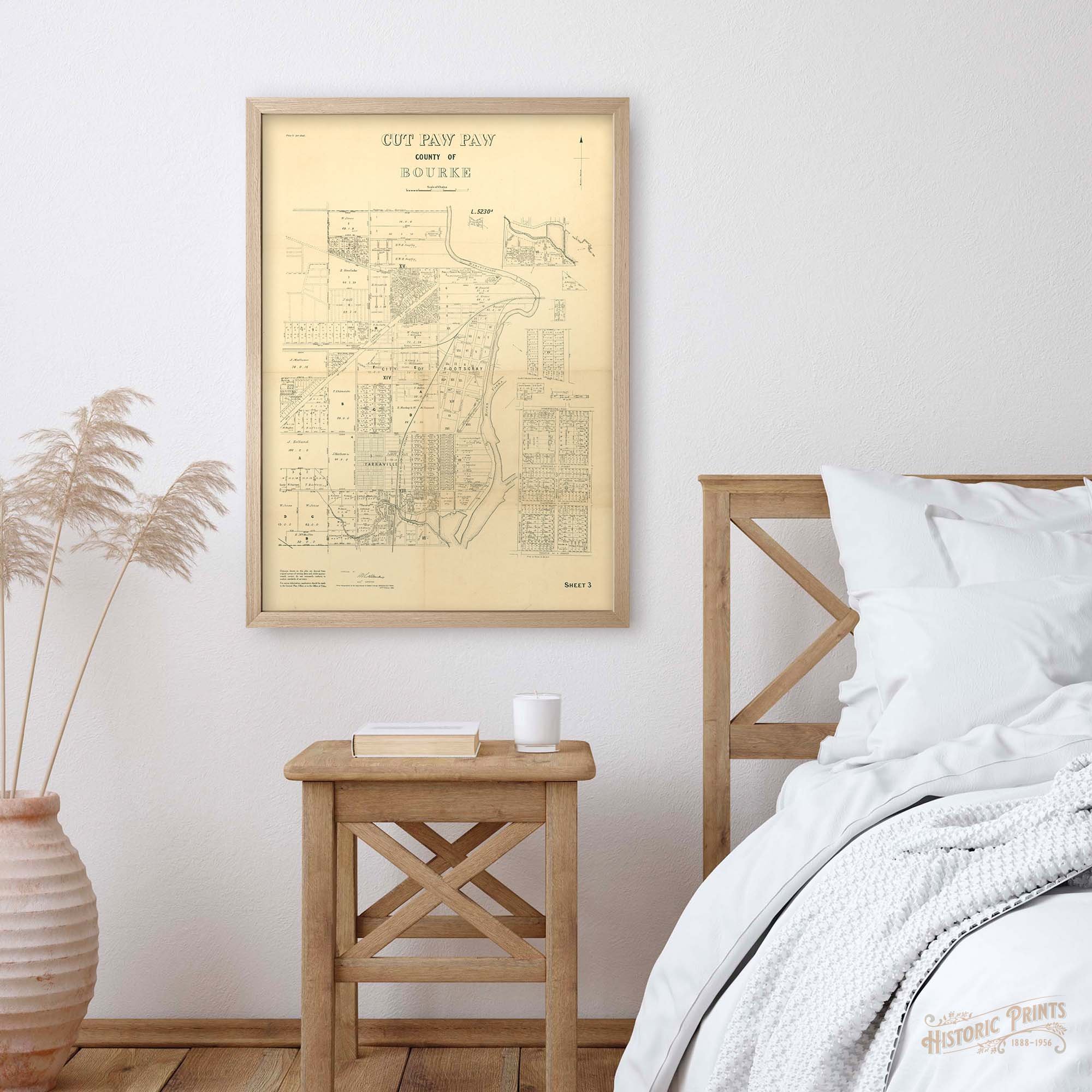
Parish of Cut Paw Paw, County of Bourke 1925 Sheet 3 Map - Footscray, Yarraville & Surrounds
The full version of the Parish Cut Paw Paw Crown Lands plan is big, really big! Large maps are difficult to work with so most Crown Lands plans have a smaller isolations for convenience. This little gem is Sheet 3 of a 4 part isolation that covers Footscray to the West Gate Freeway. Comfortable at A1, lovely original landowners of huge crown allotments.
Suited to any home that is interested in who owned what from in 1850 to early 1900s. This map covers Footscray, Yarraville, Seddon and Kingsville.
